Selected Work
Real satellites. Real slopes.
Real satellites. Real slopes.
Real decisions that matter.
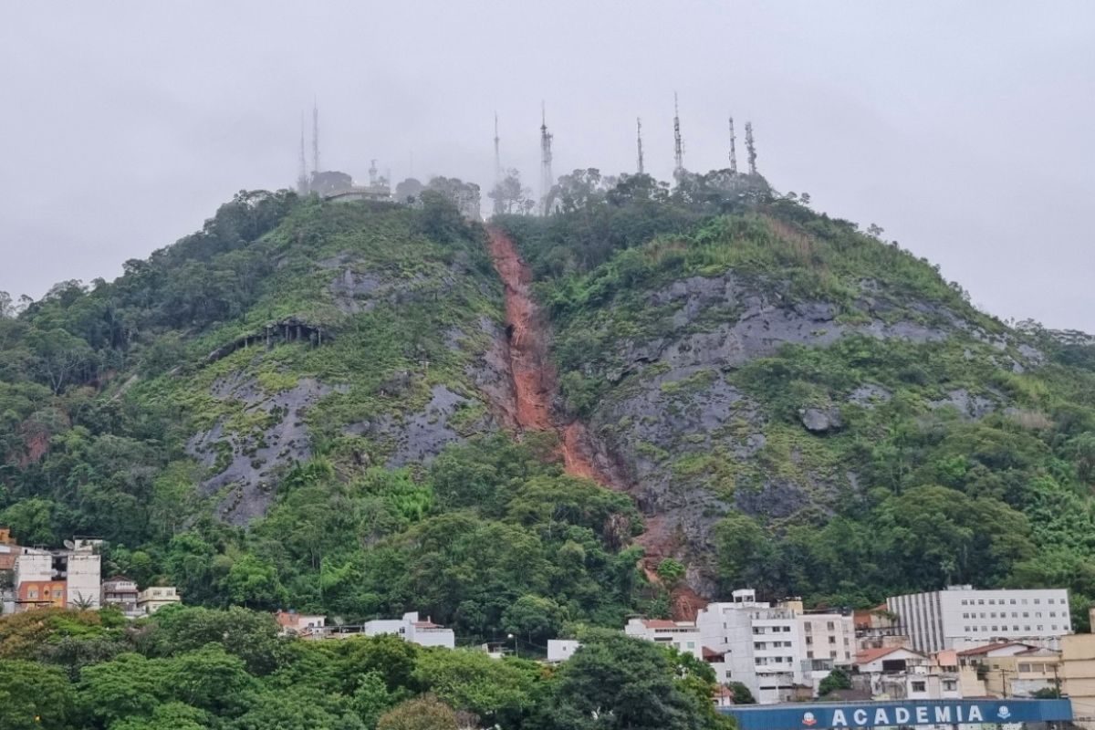
01 / LANDSLIDE
FEB 2026 · BRAZIL
Morro
do Cristo
Predicted 8 days in advance
View case study
02 / INSAR
SENTINEL-1
±1mm
PS / SBAS
displacement
displacement
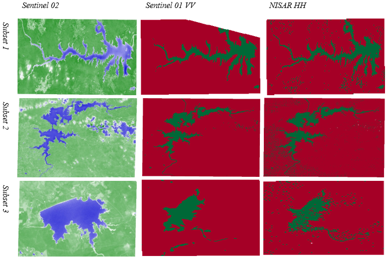
03 / NISAR
L-BAND SAR
L-Band
Expertise
Penetrating
vegetation cover
04 / RAINFALL
ERA5 · CHIRPS
188mm
6-day critical
threshold
threshold
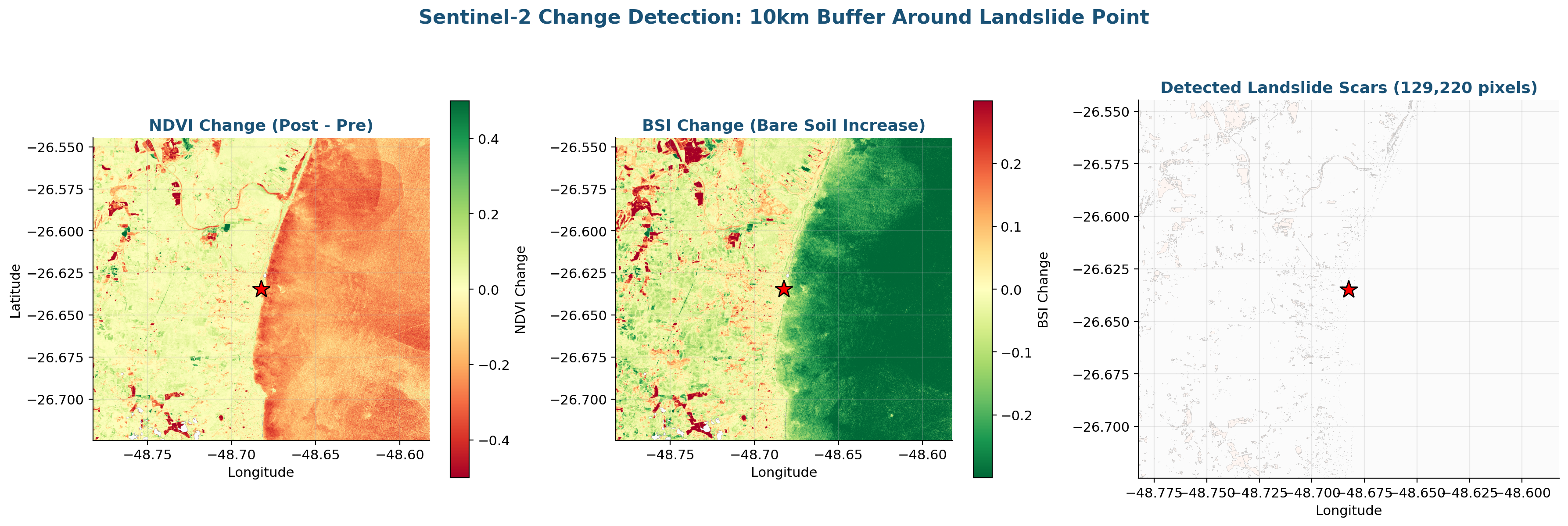
05 / VEGETATION
SENTINEL-2
10yr
NDVI archive
& change detection
& change detection
06 / AI / ML
RISK CLASSIFIER
Isolation
Forest
Anomaly detection
+ K-Means clustering
07 / PLATFORM
GEO DIGITAL TWIN
Real-time risk
dashboards.
Integrated monitoring fusing InSAR, rainfall, vegetation & geotechnical data into a single decision dashboard. Automated SMS/email alerts.
Explore the platform